


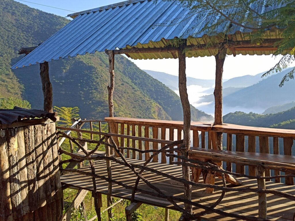
East of Querétaro’s flat, arid Bajío basin, the land climbs sharply. That’s where the Sierra Gorda begins: a mountain range that holds nearly a third of the state’s entire territory inside a single protected reserve. It is a genuinely different Querétaro from the one visible around Zibatá. There’s cloud forest instead of scrubland, canyon rivers instead of vineyards, and centuries-old missions built into remote mountain towns. This guide covers what the Sierra Gorda actually is, its two best-known natural sites, and how to plan a trip from Zibatá.
A Biosphere Reserve Covering a Third of the State
The Sierra Gorda Biosphere Reserve spans 383,567 hectares, about 32 percent of Querétaro’s total territory. A presidential decree created it in 1997, and it joined UNESCO’s Man and the Biosphere network in 2001.
Its terrain shifts dramatically with elevation. At the lower edges there’s dry scrubland. Higher up, temperate forest gives way to cloud forest. In total, the reserve encompasses fifteen distinct vegetation types.
That range supports more than 5,090 documented plant and animal species, including jaguars, green macaws, and Humboldt butterflies. It also includes 2,308 vascular plant species and 800 species of butterflies alone. It is, by a wide margin, the most biodiverse corner of the state, and a sharp contrast to the semi-desert landscape most Zibatá residents see day to day.
The Five Franciscan Missions
Woven into the mountains are five Franciscan missions. Fray Junípero Serra directed their construction between 1751 and 1758, and UNESCO later designated them World Heritage sites in 2003. Jalpan de Serra holds the largest and most accessible of the five, and it makes a natural base for exploring the others.
ZibataHoy’s guide to Querétaro’s Pueblos Mágicos covers the missions and Jalpan in more depth. This guide, instead, focuses on the natural sites around them.
Puente de Dios: A River Canyon Hike to a Hidden Cave Pool
Puente de Dios is a semi-open cave along the Escanela River, inside Angostura Canyon. There, a waterfall pours through an opening in the rock into a turquoise pool.
The site sits between Pinal de Amoles, about 30 minutes away, and Jalpan de Serra, about 45 minutes away. From the state capital, the drive takes roughly three hours, and the distance from Zibatá is similar.
Visits require a mandatory guided tour run by the local community. The hike itself is a manageable 2 miles round trip along a mostly flat trail. It crosses the river on wooden footbridges before a short ladder climb to a viewing platform.
Entry runs about 181 pesos per adult. The site is open 8:00 a.m. to 4:00 p.m. daily, and visitor numbers are capped at 600 people per day. The best window to visit is November through June. However, the trail typically becomes impassable in August and September, at the height of the rainy season, so it is worth checking conditions before making the drive.
Planning a Sierra Gorda Trip From Zibatá
- Budget for an overnight stay. The drive alone runs close to three hours each way, and the region rewards more time than a single-day round trip allows.
- Base yourself in Jalpan de Serra for the easiest access to both the missions and the natural sites.
- Book Puente de Dios tours ahead of time given the daily visitor cap, especially on weekends.
- Pack for temperature swings; cloud-forest elevations run noticeably cooler than Zibatá, especially early morning and after dark.
Sources: Reserva de la Biosfera Sierra Gorda — Wikipedia | Puente de Dios: Everything You Need to Know | México Desconocido: Las Misiones de la Sierra Gorda
Read more: Top 5 Pueblos Mágicos de Querétaro | Cadereyta de Montes
